The prevailing low-pressure area (LPA) last tracked over 320 kilometers west of Dagupan City will continue to bring rain showers over most areas in the country, the Philippine Atmospheric, Geophysical, and Astronomical Services Administration (PAGASA) said Saturday, 6 August.
PAGASA weather specialist Obet Badrina said the southwest monsoon (habagat) affects the western sections of Central and Southern Luzon, and of Visayas.
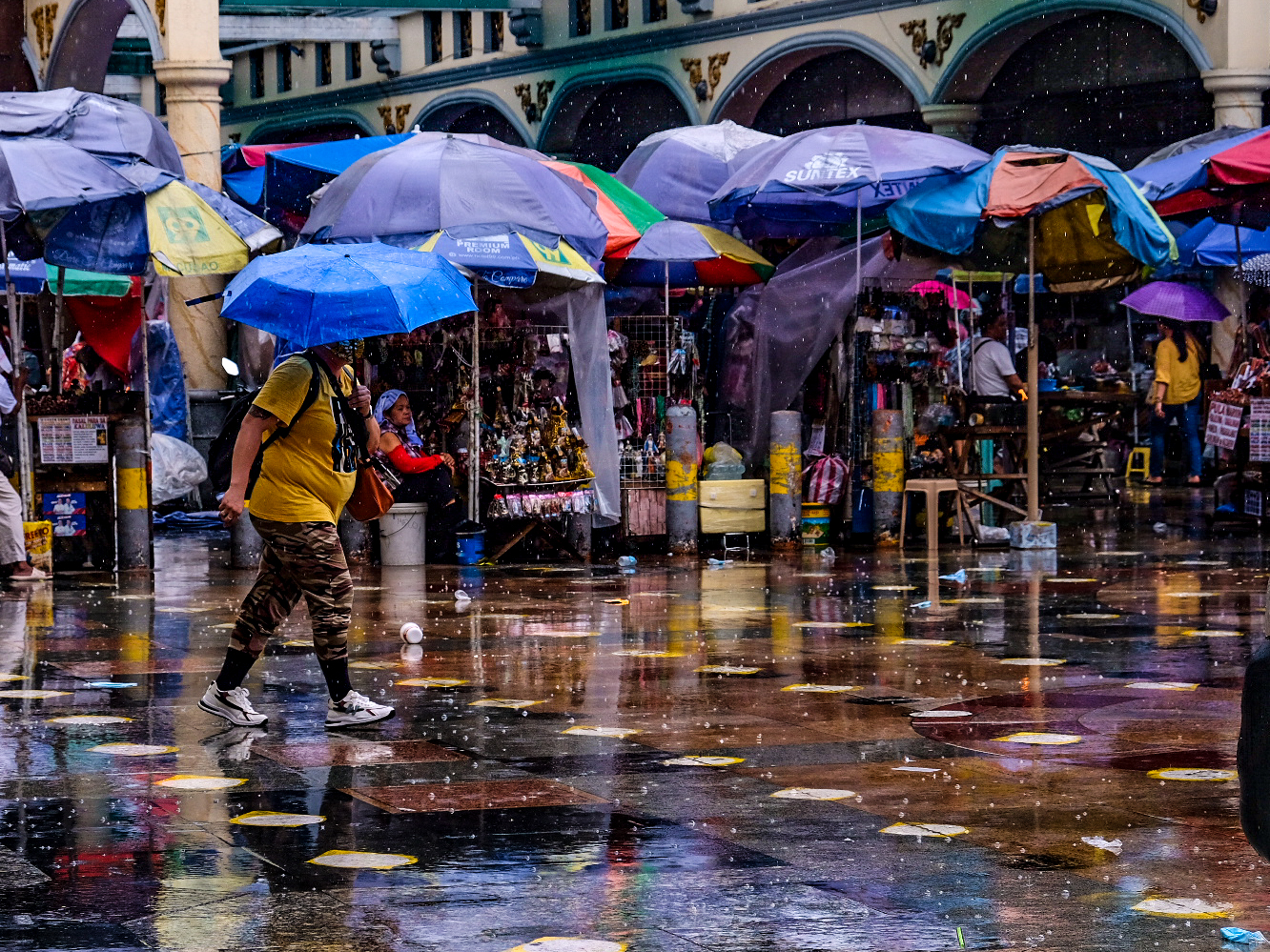
Large portions of Metro Manila, Central Luzon, CALABARZON (Region 4A), MIMAROPA (Region 4B), and the Visayas will still experience cloudy skies, and scattered rain showers as well as thunderstorms due to LPA and habagat.
Meanwhile, a localized thunderstorm caused by habagat will bring isolated rain showers or thunderstorms to the rest of the country.
Possible flash floods or landslides during severe thunderstorms are expected.
PAGASA sees that the habagat will be affecting the country’s weather in the next coming days as the monitored LPA is going out of the Philippine Area of Responsibility (PAR).
Badrina said gradual weather improvement is expected in the coming days in a large portion of the country including in Metro Manila.
But still, thunderstorms during afternoons and evenings are also expected due to the prevailing southwest monsoon.
PAGASA has not yet monitored any other LPA inside and outside of the PAR.
For the weather forecast on Sunday, a large portion of Western Luzon including MIMAROPA and CALABARZON, and Metro Manila, will still experience cloudy skies and scattered rain showers.
Warm weather is expected for the rest of Luzon.
Bicol Region, Cagayan Valley, Cordillera Administrative Region may experience rainshowers and thunderstorms.