The angle of Super Typhoon Hinnamnor’s “bounce” will determine the extent to which it impacts Taiwan, but regardless it is expected to bring rain to Taiwan from this evening (31 August) well into Sunday (4 September).
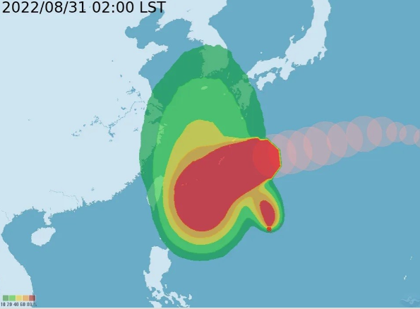
On Tuesday (30 August), Hinnamnor was upgraded from a typhoon to a super typhoon. As of 2 a.m. Wednesday (31 August), Super Typhoon Hinnamnor was about 1,050 kilometers east of Taipei, moving west-southwest at a speed of 23 kilometers per hour. It had a radius of 220 km and was packing maximum sustained winds of 198 kph and gusts of up to 244 kph, the Central Weather Bureau reported.
WeatherRisk Explore Inc. CEO Peng Chi-ming said that Hinnamnor will shift southward and it is possible that Taiwan will issue a sea warning for the super typhoon. Peng predicted from this evening to Sunday, northern and eastern parts of the country will be vulnerable to the periphery of the storm and rain is likely. “I hope that the forecast will remain as predicted, and the deviation will not be too large, otherwise the impact of the super typhoon will be tremendous,” said Peng.
As for whether the typhoon will affect Taiwan, forecaster Wu Sheng-yu said that starting Wednesday evening, Hinnamnor will dip to the east of Taiwan, and the northern periphery of the storm will start to close in, causing a change in the weather. Presently, Hinnamnor is located to the east of Naha in Japan’s Ryuku Islands and is moving westward at a high rate of speed.
Wu said that the typhoon’s structure is complete and the eye is clearly visible. He pointed out that Hinnamnor is the most powerful typhoon of the year.
The forecaster said that the typhoon will gradually move closer to a tropical depression starting Wednesday afternoon. Wu predicted that a process of integration between the two storms will gradually occur and Hinnamnor will continue to move to the southwest to the waters off of east Taiwan.
Wu observed that Hinnamnor will “drop” like a “ball” about 400 to 500 km from its position to the east of Naha to a position off of Taitung County from Thursday night to Friday morning (Sept. 1-2). He said that because of the variability of the “dropping ball,” the angle of its “bounce” back up north is critical.
If the angle is smaller, the typhoon’s eye wall will swirl past eastern and northeastern parts of Taiwan, but if the angle is larger, the storm could directly impact the country. Wu said that the CWB is likely to issue a sea warning from Friday night to Sunday morning, which is when the typhoon is expected to come closest to Taiwan.
It will not be until Sunday afternoon that the typhoon is anticipated to move away from Taiwan and northward to the East China Sea. However, no matter what direction Hinnamnor goes in the end, the northerly winds from its periphery will start to bring rain to Taiwan Wednesday night and there will be a high probability of rain in northern and northeastern regions from Friday through Sunday.
Moreover, there will be a possibility of local heavy rains and accumulated rainfall in mountainous areas. As the typhoon moves northward, the area impacted by rain on Friday and Saturday will expand to the central region and if the typhoon comes closer, southern areas will also be affected.
Wu said that during this period, winds along coastal areas will also increase significantly, and strong gusts are likely. Therefore, the weather in Taiwan in the next few days will have a strong correlation to the future path of Hinnamnor and Wu urged the public to follow the latest typhoon updates.