The low pressure area off eastern Luzon has intensified into Tropical Depression Florita and is forecast to make landfall in Cagayan tomorrow, the Philippine Atmospheric Geophysical and Astronomical Services Administration said on Sunday.
The center of Florita is expected to make landfall in the vicinity of Cagayan or the northern portion of Isabela on Tuesday morning or afternoon, according to the forecast track of Pagasa.
The weather agency said Florita’s eye will then move west northwestward, crossing several provinces in Northern Luzon before emerging over the West Philippine Sea by Tuesday evening or early Wednesday morning.
The LPA became a TD at 8 a.m. Sunday and is expected to reach tropical storm category in the next 36 hours with intensity peaking at 75 kilometers per hour prior to making landfall, Pagasa said in its 11 a.m. Sunday advisory.
Florita was estimated at 630 kilometers east of Tuguegarao City, with maximum sustained winds of 45 kph near the center and gustiness of up to 55 kph, the advisory said.
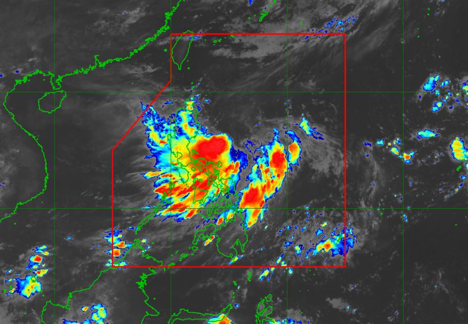
The weather disturbance is currently not directly affecting the country.
There is no Tropical Cyclone Wind Signal currently raised in any part of the country, but Pagasa said there is a high possibility that it will be raised in Northern Luzon and some provinces in Central Luzon due to the threat of strong to storm-force winds associated with the passage of Florita.